

|
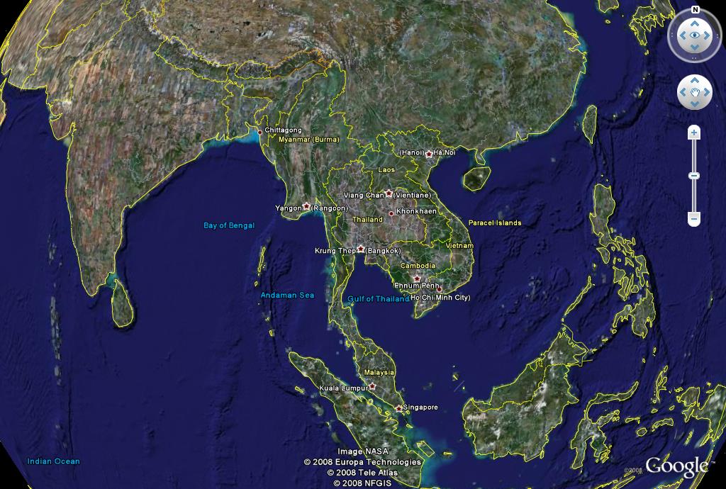 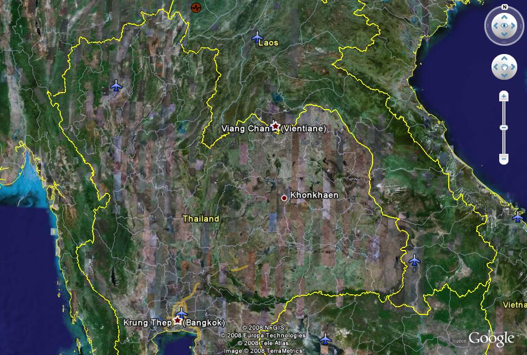 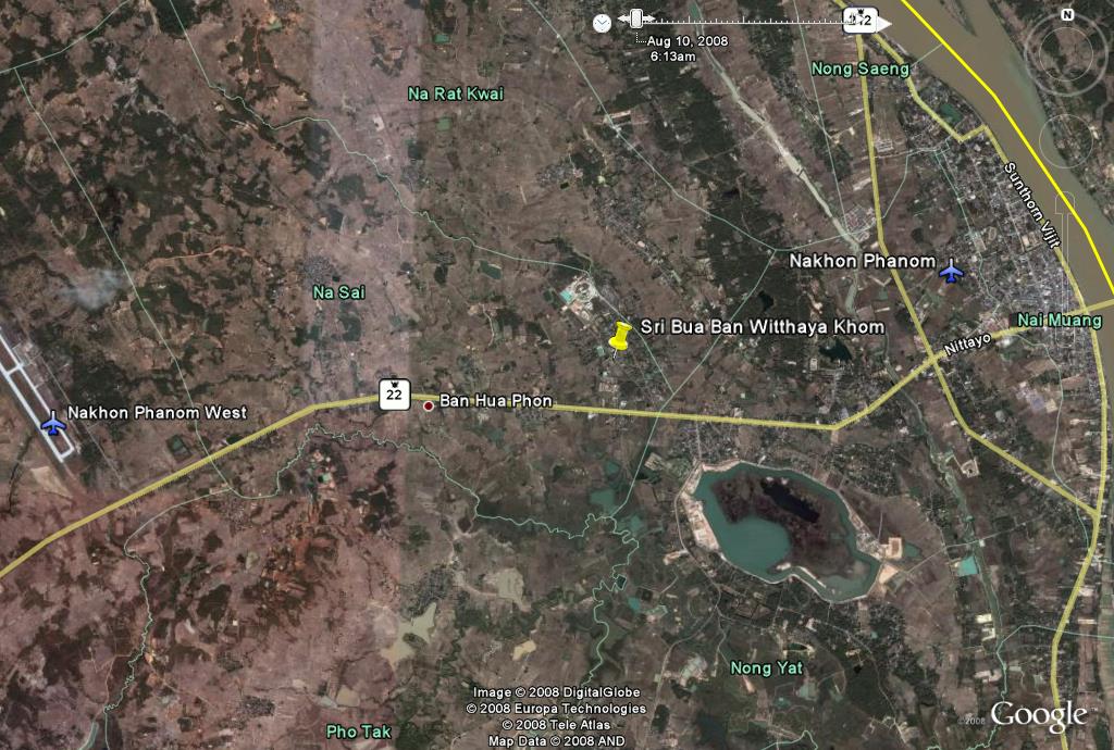 | 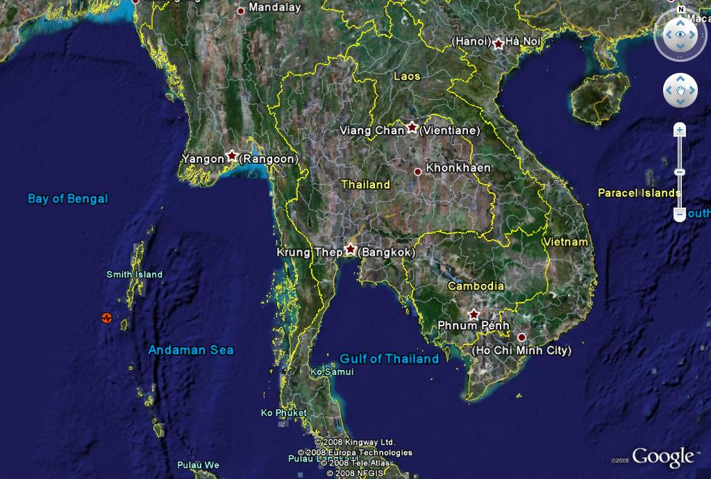 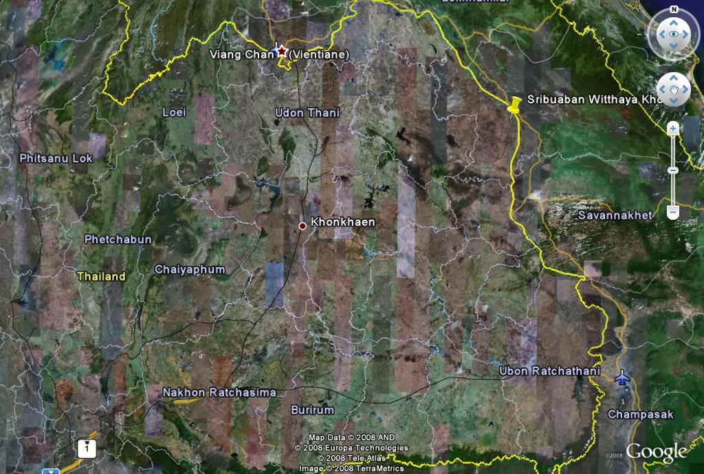 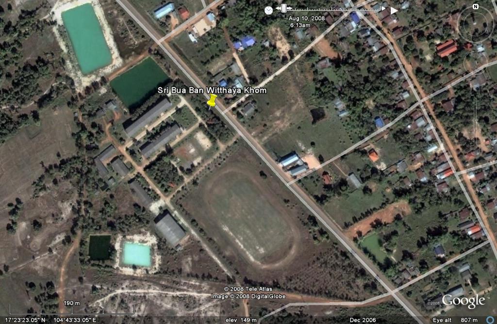 |
We are very close to the western bank of the Mekong River in Thailand. Our latitude is 17 Degrees 23 Minutes and 20.96 Seconds North. Our Longitude is 104 Degrees, 43 Minutes and 31.98 Seconds East. If you have Google Earth you will be able to find us easily with these co-ordinates.
As mentioned we are also close to the city of Nakon Panom. Nakon means city and Panom means hill.
How did we get here?
An interesting question and no proven answer but many stories. People choose to live where there is a guaranteed water supply and with the Mekong River there is a reliable source of water. The river runs from Tibet through southern China, Burma, Laos, Thailand, back into Laos and subsequently Cambodia and Vietnam. The Mekong is one of the major rivers of the world and is large and powerful enough to transport many things in and on her waters. She has become a highway for many over thousands of years.The Mekong was a likely way that people came to this area of the world. We also think that many came overland from China through northern Vietnam as there are many Lao speaking minorities in that country.
We know that there are people from the country to the south, Cambodia. Cambodia has an interesting group of languages which seem to be related and the academics have proposed that an area of Cambodia in the central north may have been one of the cradles for a large development of people over time. It is likely that some of these migrated up along the banks of the Mekong stopping and colonising at different places along the way. We think that in pre-Angkorean times this is highly likely with a group of pioneers heading north from Wat Phu Champassak to the Muun River and up the Muun to Ubon Ratchatani, establishing communities and cities along the way and beyond. It is most likely that other groups of Cambodian peoples stayed on the Mekong and moved further north. There is evidence in support of this with Khmer temples along the banks of the Mekong. People of Indian ethnic background may have moved with the Khmer as another group called the Cham. The Cham were the first rulers of civilised Cambodia and the leaders up to the Angkorean era had to prove linkage with the original leaders. That changed around the Angkorean era when kings proclaimed themselves god-kings. The Cham were the descendants of Indian traders who travelled between India and Anam or Vietnam. The prevailing winds changed twice a year in direction so over time some of these people stayed on. They made their way west to Cambodia to either trade or conquer at different times. The Cham were also one of the major reasons for Hinduism being adopted as the formal religion of these countries in prior times
There have been many successive migrations since the first settlers. People have suffered the effects of many wars over the hundreds of years. Country borders have changed and people have looked for safer lands to live.
Vietnamese people formed a community not far from here in the 1930's. Their leader was a man called Ho Chi Minh. He too was being chased by a powerful group from Vietnam because he was politically active in establishing Vietnam's independence from France. He escaped their power by settling in Thailand for a few years and then returned to continue his political ambitions and victory. Some of the people who originally came with Ho Chi Minh didn't return and formed their own communities along the Mekong. Many have subsequently moved further along the Mekong and into other parts of Thailand.
For a very interesting animated history and movement of the ancient empires in the region click the movie screen
|  |
The map above is from Google Maps. If a map doesn't appear automatically please click "View Larger Map" immediately above and to the left of this instruction.
To change the size and the position you must use the mouse. To make the map zoom out you must put the cursor over the (-) arrow and click the Left mouse button. To make the map zoom in you click the (+) arrow.
There are three tabs at the upper Right Hand area of the frame. You will see:
"Map". When you click this the view changes to a map overlay. It
shows the roads, rivers and lakes etc., "Sat". When you click this
the appearance changes. It will now show you photos of the area taken by the
satellite in outer space and "Ter" is a Terrain overlay. This is
designed to see topography. Mountains and valleys will be seen.
You can change the map location by using the four direction arrows at the upper
Left hand Side of the image or you can drag the map with your mouse while
holding down the Left button on the mouse.
Sometimes the response can be a little slow. You need to wait for Google Maps
to respond to your actions.
Good luck with this utility it can be great learning and great fun.
